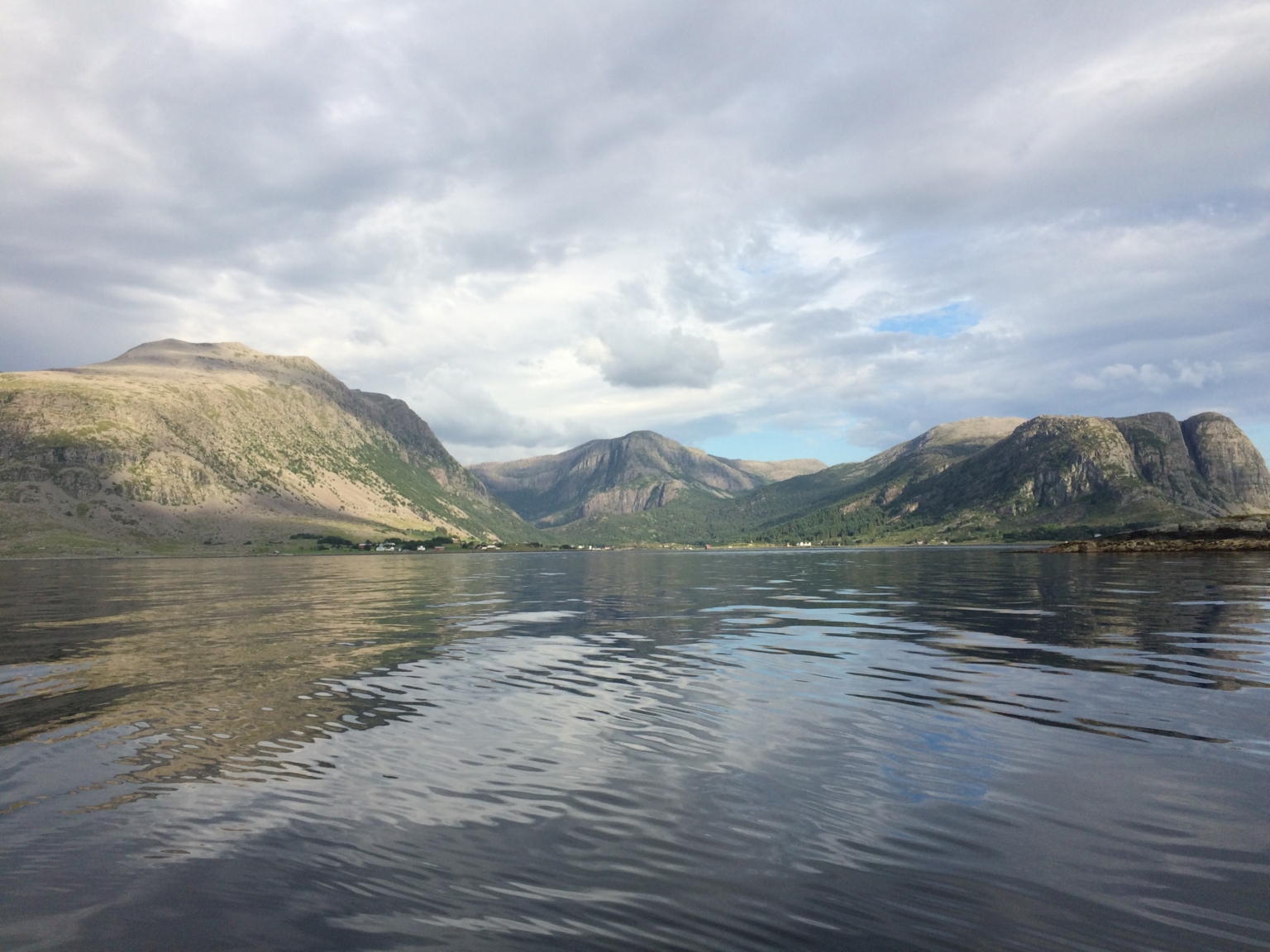
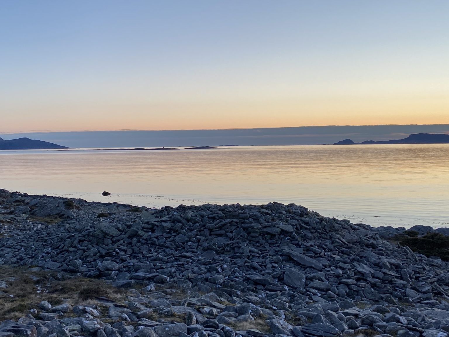
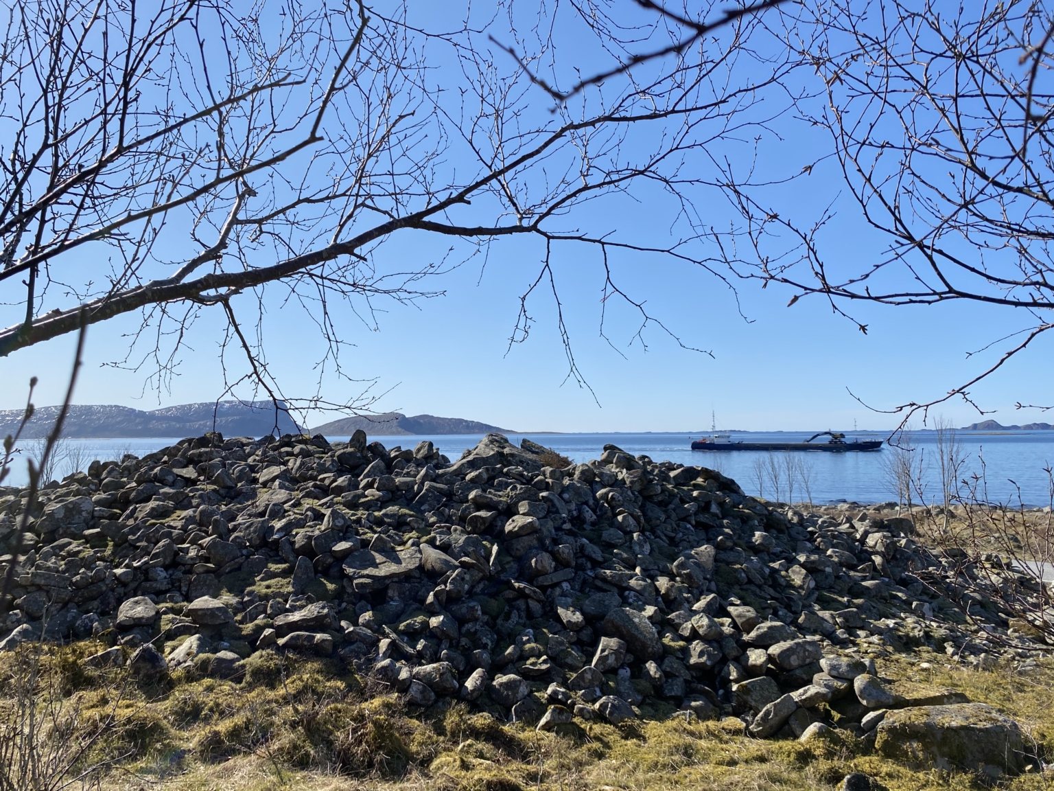
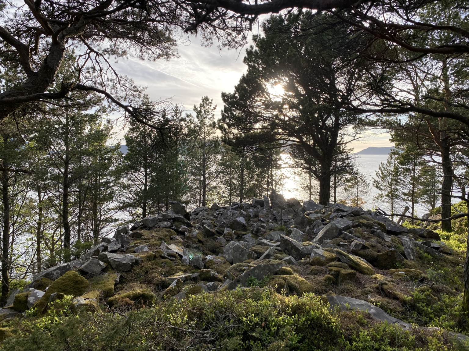
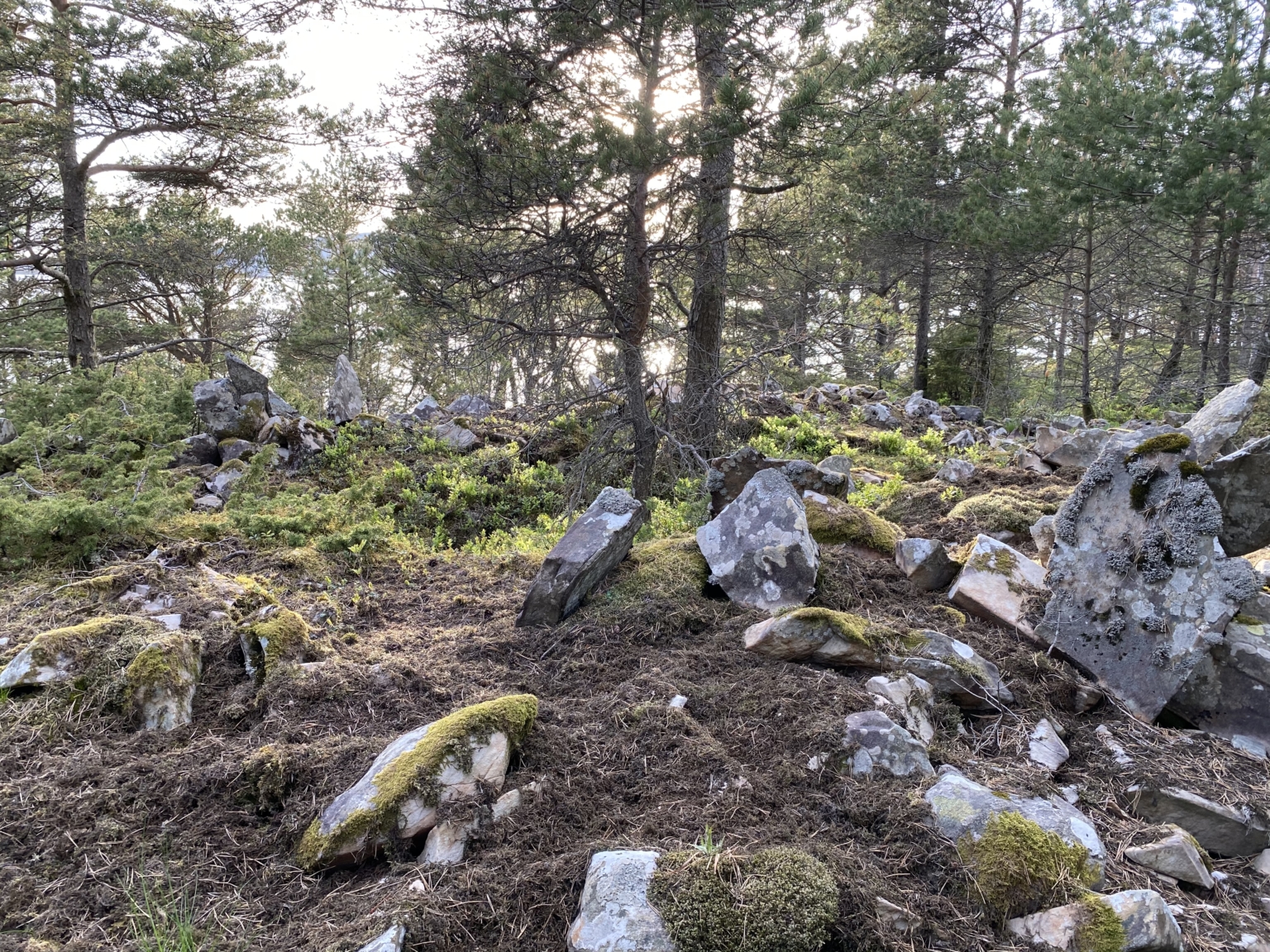
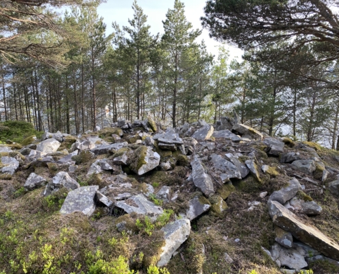
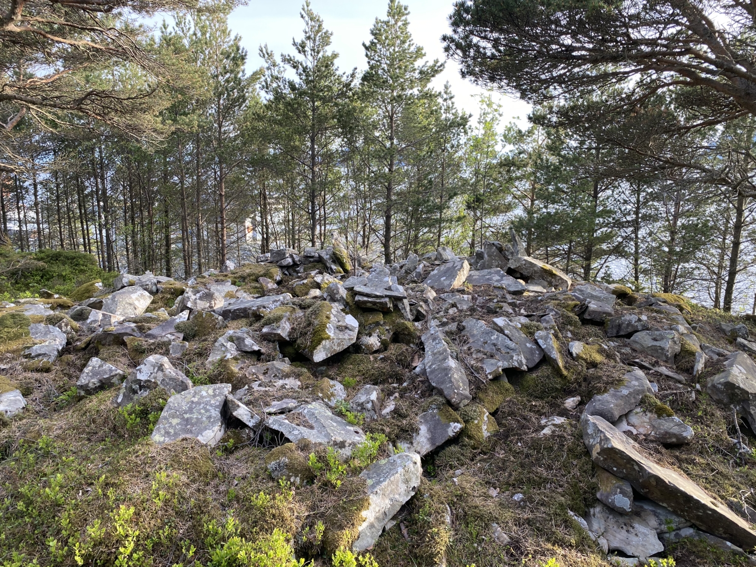
Over 40 large and smaller burial cairns have been registered along the coastline between Botnane and Årebrot, dating from the Bronze and Iron Ages. The largest and most impressive of these are found in Botnane, the hub of an ancient centre of power. The cairns are among the most important historical and cultural sites from the Bronze Age in Norway.
The large cairns were the burial sites of persons with a prominent position in the clan. Such monumental memorials bore witness to the deceased and their legacy, and to the ruling clan of Botnane. Both women and men could be buried in this way.
Considerable authority and power were necessary, both religious, economic, and military, in order to gather enough people to build such huge monuments.
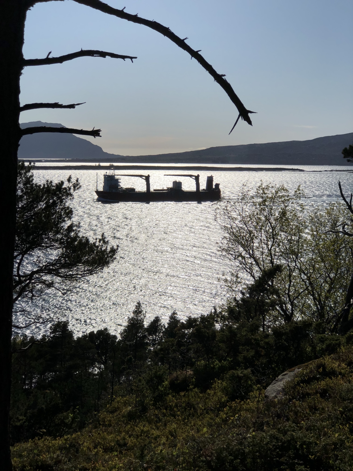
The preconditions for power lay in the advantageous natural situation: the strategic position on the coastline and the boat trail, and favourable conditions for agriculture, hunting and fishing.
The strategic position on the coastline and the boat trail was an asset. Perhaps the chieftain, weapon in hand, demanded a fee from travellers along this stretch, and this was one important aspect of the powerful position of the clan.
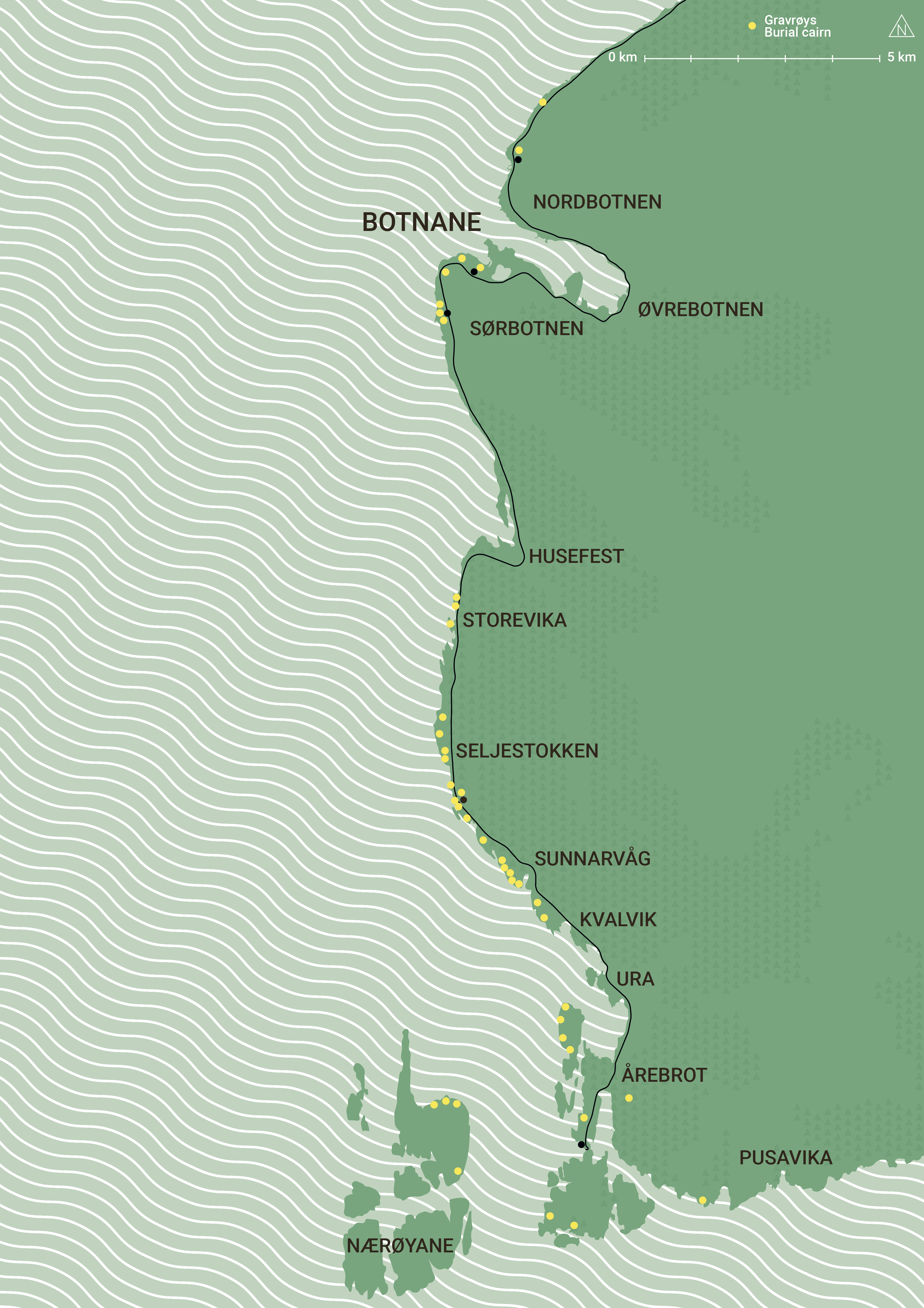
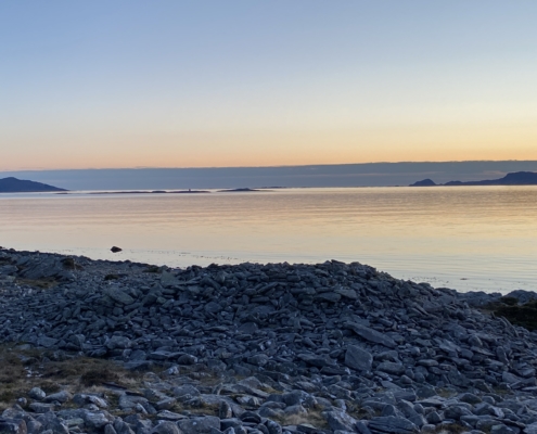
A number of unusually large and fine burial cairns from the Bronze Age have been found in Botnane. Further to the south there are great numbers of cairns from both the Bronze and Iron Age. This remarkable concentration of cairns can be linked with the ancient boat trail which passes here. All who travelled along the coast had to pass this location.
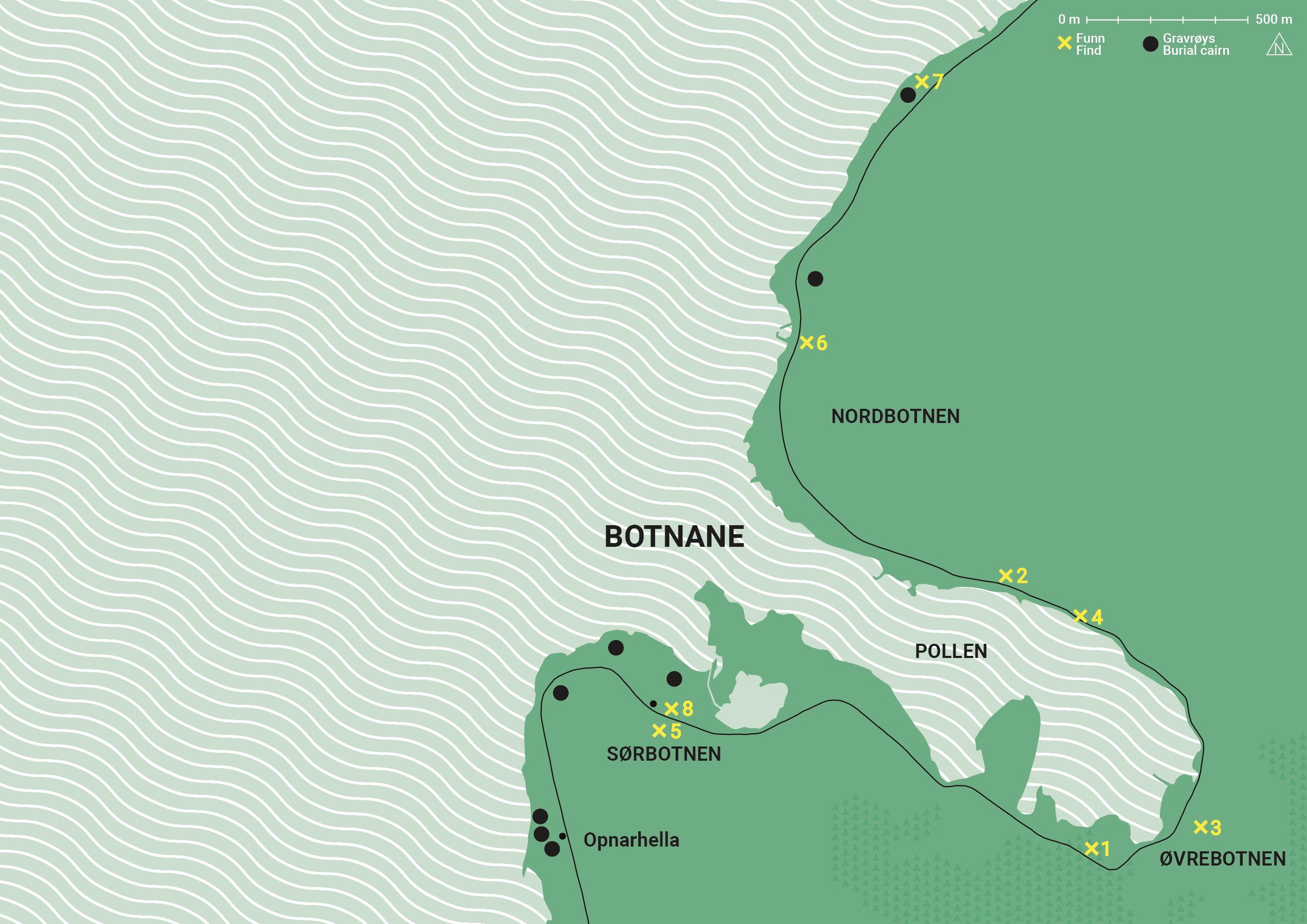
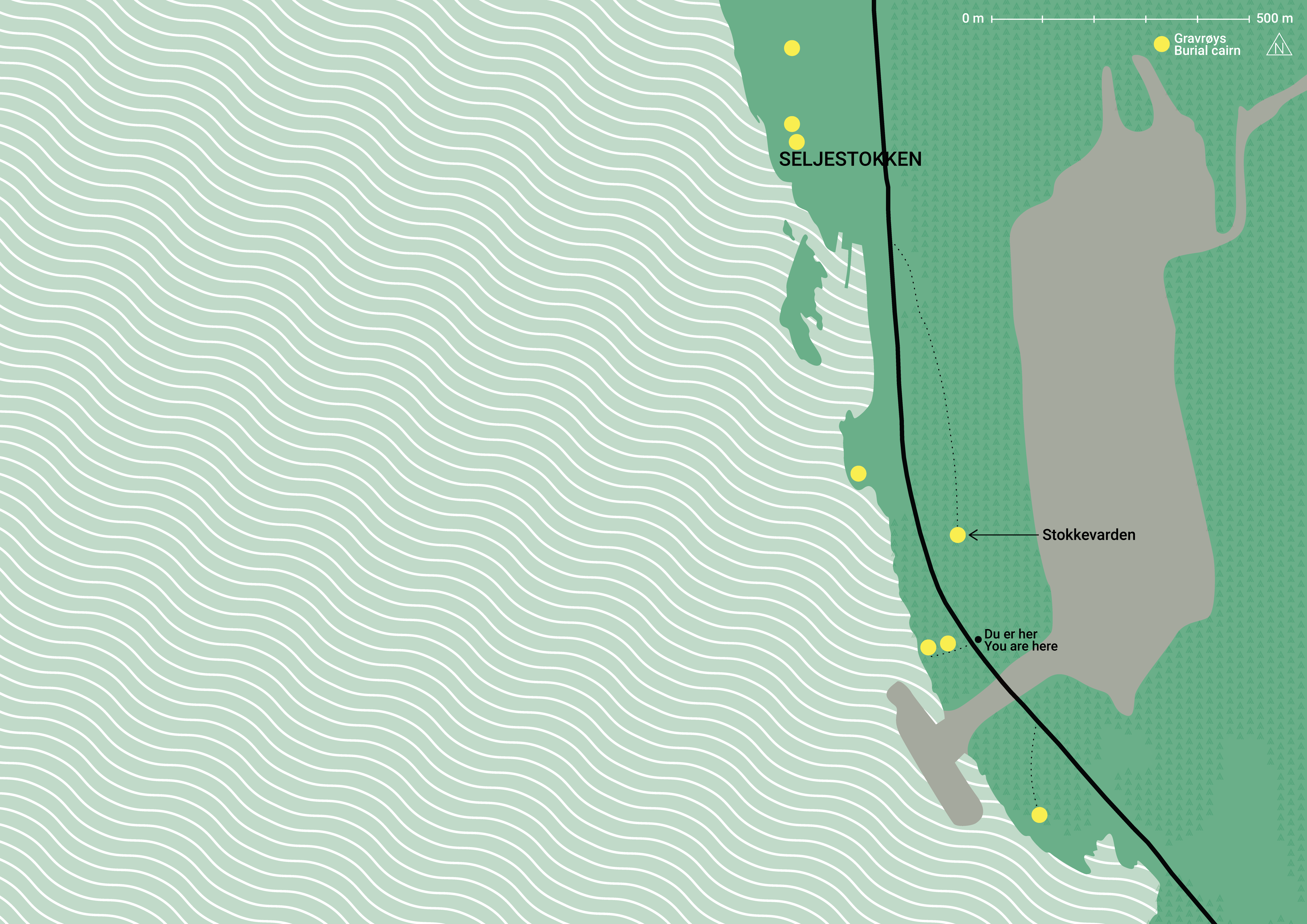
Kart/map: Runa Gjerland
The large Bronze Age burial cairns in Botnane
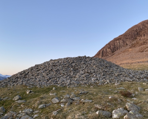
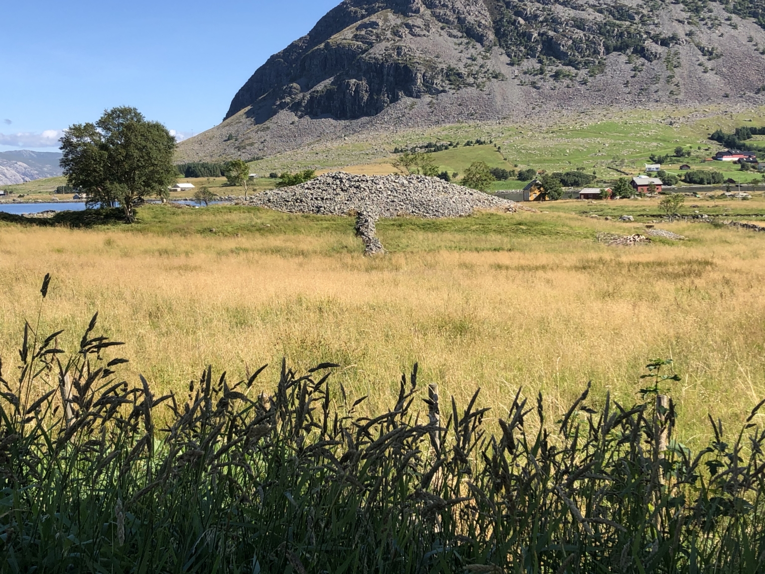
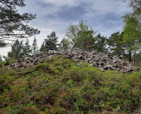
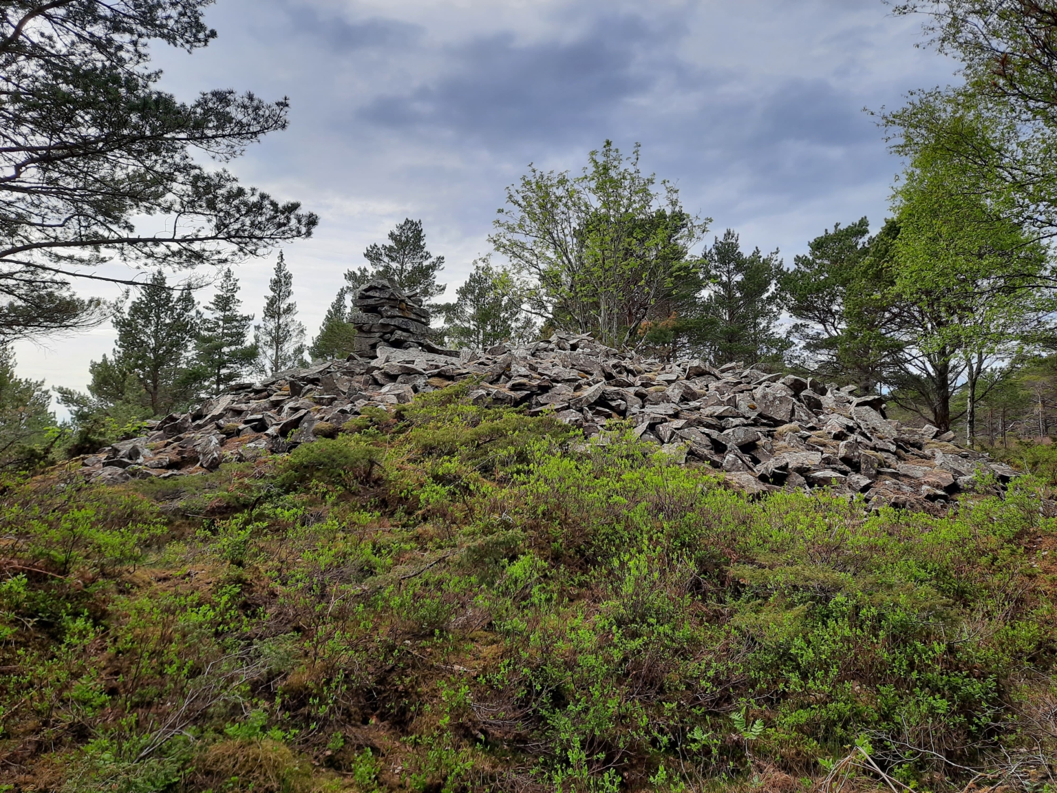
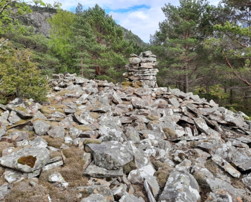
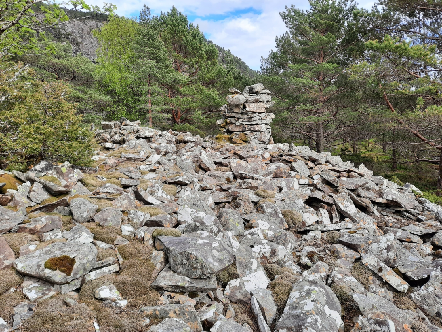
An assemblage of four unusually large burial cairns is sited here. The cairns are traditionally dated to the Early Bronze Age. Two of the burial cairns are north of Pollen, and two to the south. The assemblage is one of the protected sites of prominent cultural heritage from the Bronze Age in Norway.
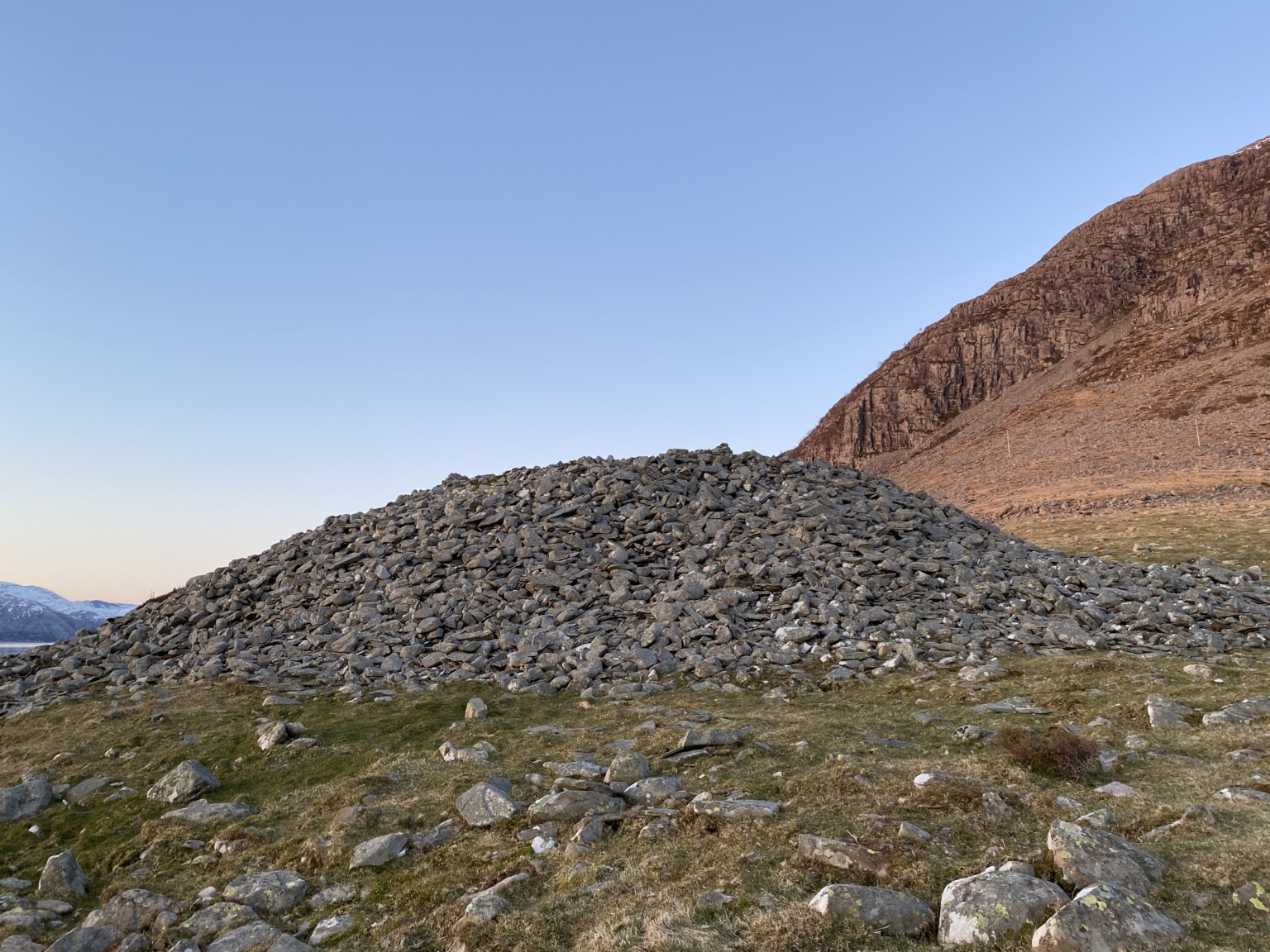
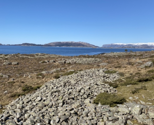
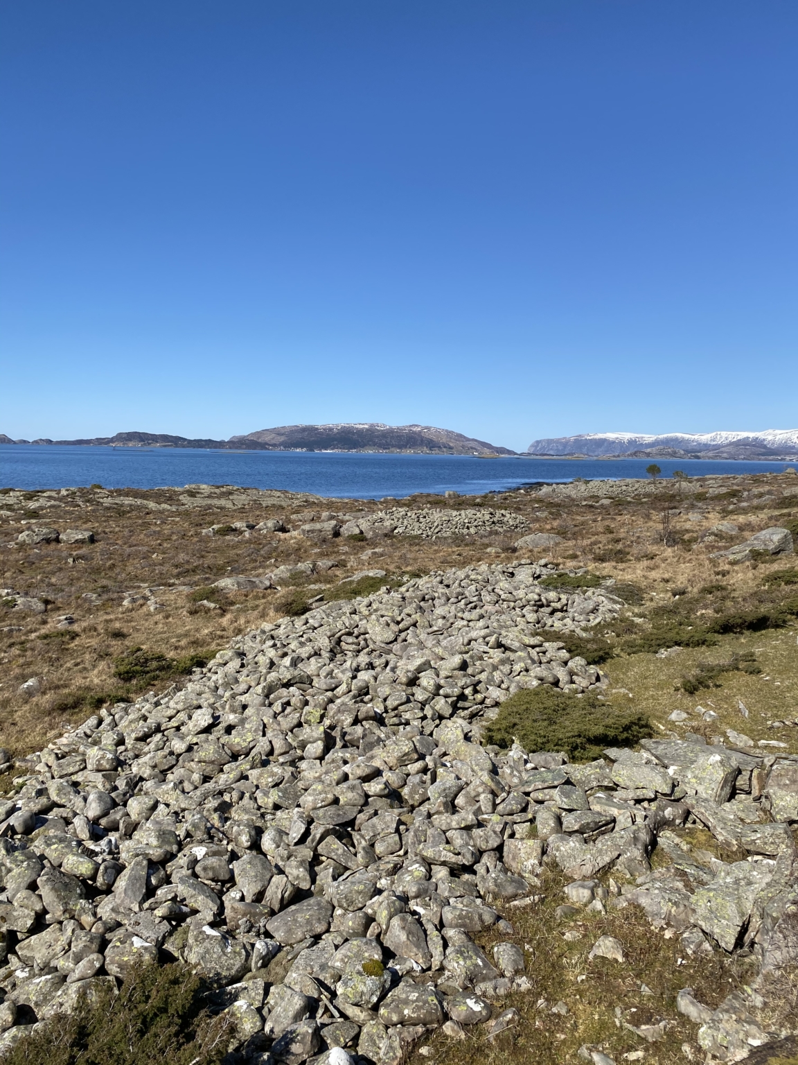
Søre røysa (The Southern Cairn) is the largest burial cairn on the West Coast of Norway. It is 38 metres in diameter and five metres high. The cairn was built in a prominent place so that it would dominate the landscape and be a conspicuous landmark.
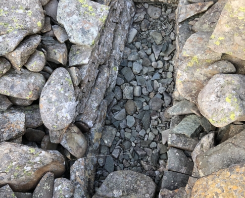
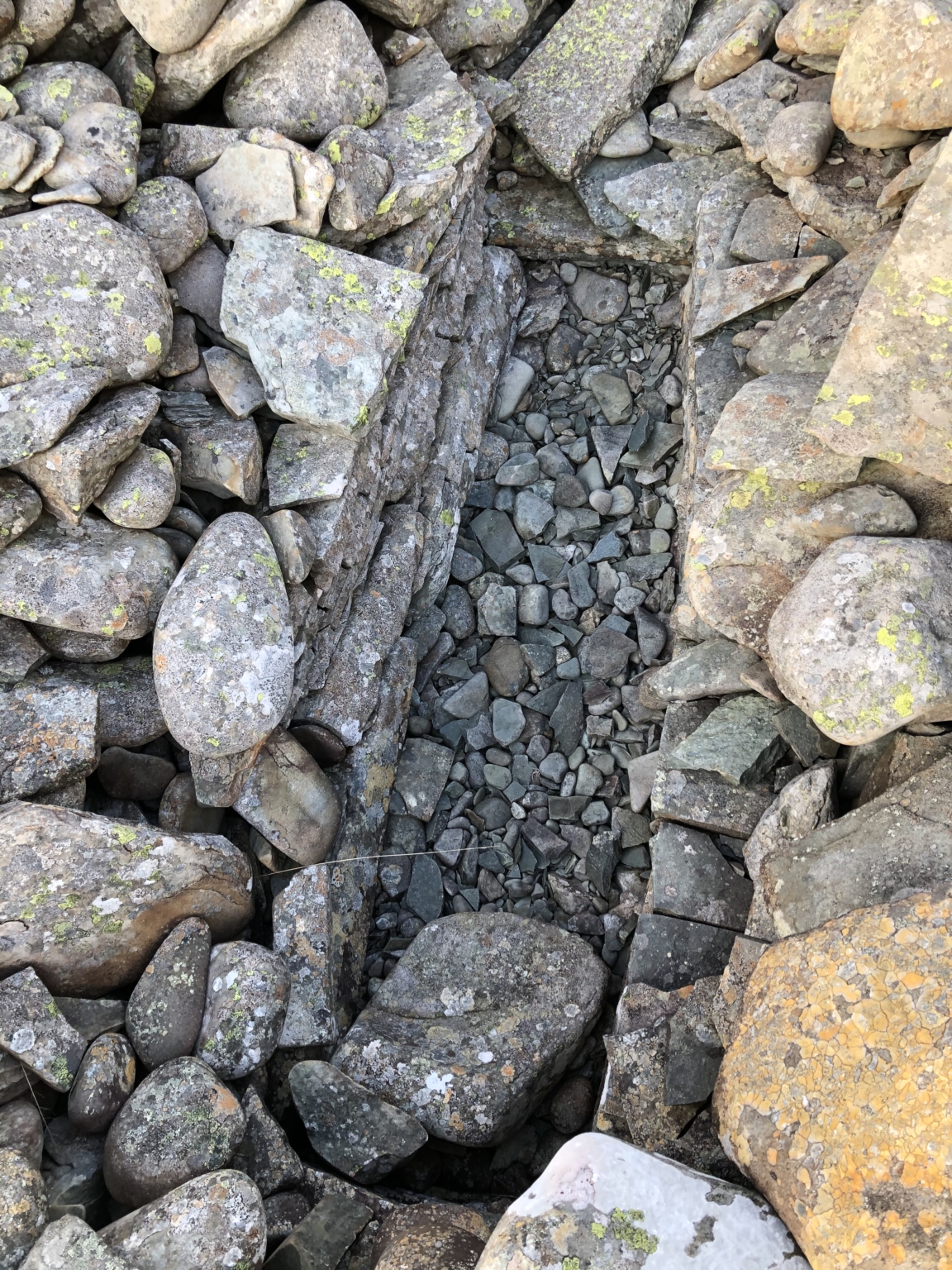
Nøre røysa (The Northern Cairn) is approximate half the size of Søre røysa and there the burial casket is exposed.
The cairn called Storrøysa (The Great Cairn) measures 30 metres across and is one of the biggest burial cairns from the Bronze Age along this old coastal route.
The burial cairn at Vika is 25 metres in diameter, two metres high and is the third largest in Botnane.
The group of unusually large burial cairns in Botnane are placed conspicuously in the landscape on each side of Pollen. It was important that they should be clearly visible and mark the clan seat.
At Håjen there is a long cairn measuring 25 metres in length and 7 metres in width, dating from the Iron Age.
Archaeological findings in Botnane
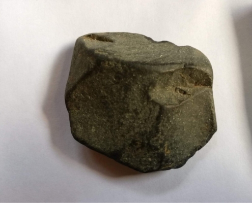
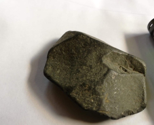
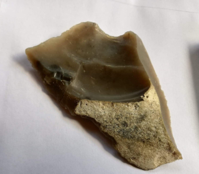
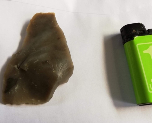
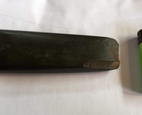
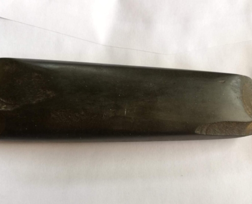
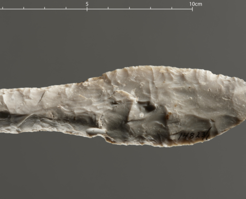
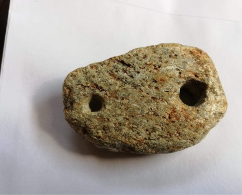
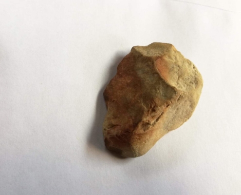
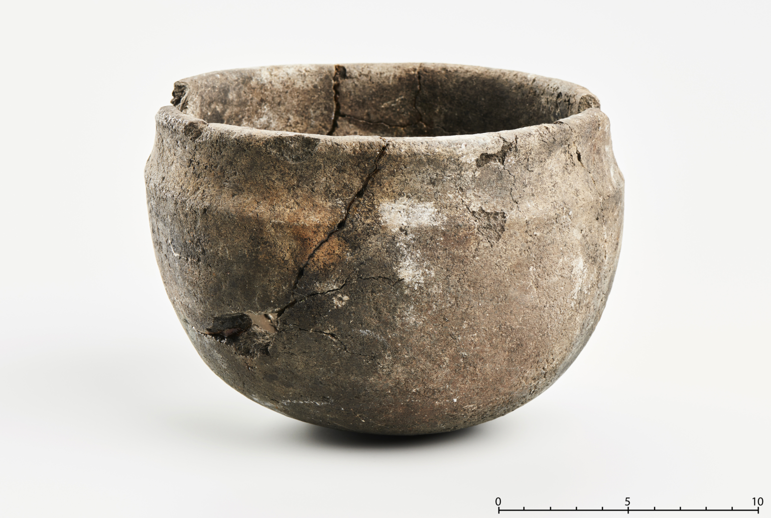
People have lived in Botnane for thousands of years. We know this from findings of artefacts in the village. The numbers on the map show where artefacts have been discovered, and you can read what was found in the attached texts.
Early Stone Age: 1) settlement site and 2) findings of flint and diabase (a type of stone also called dolerite)
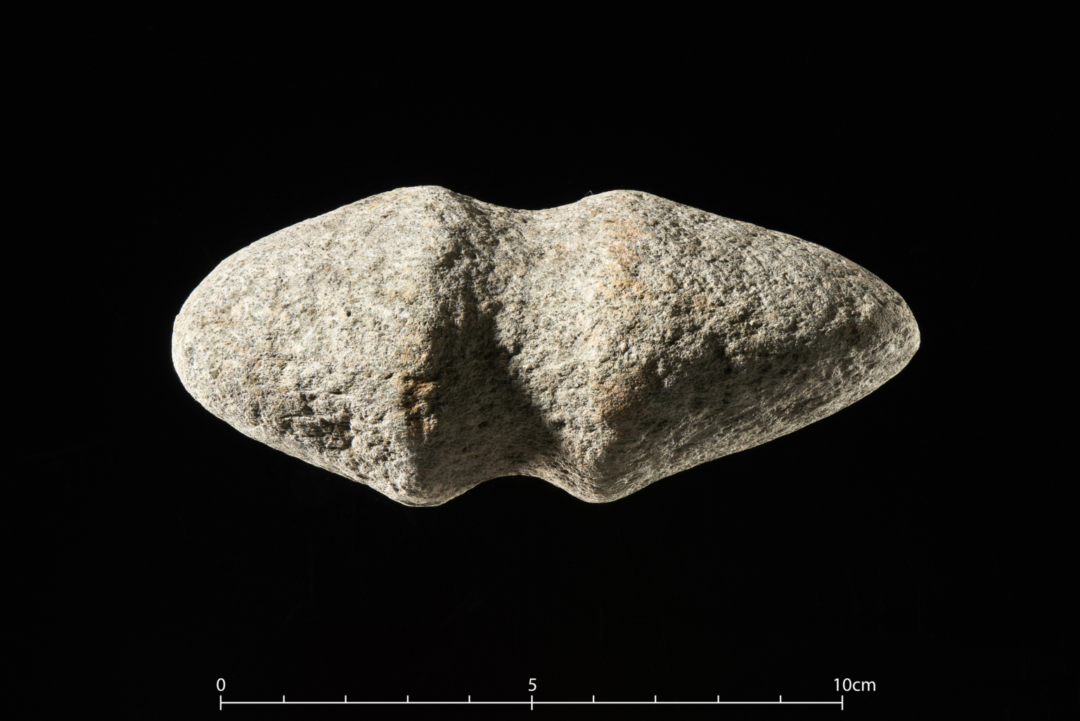
Late Stone Age: 3) arrowhead of slate, 4) flint and 5) stone axe
Early Bronze Age: 6) flint dagger and 7) bone
Iron Age: 8) two fishing net weights
The burial cairns at Opnarhella
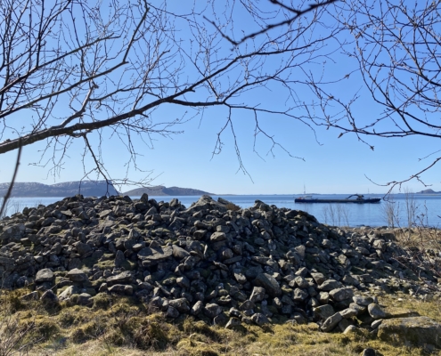
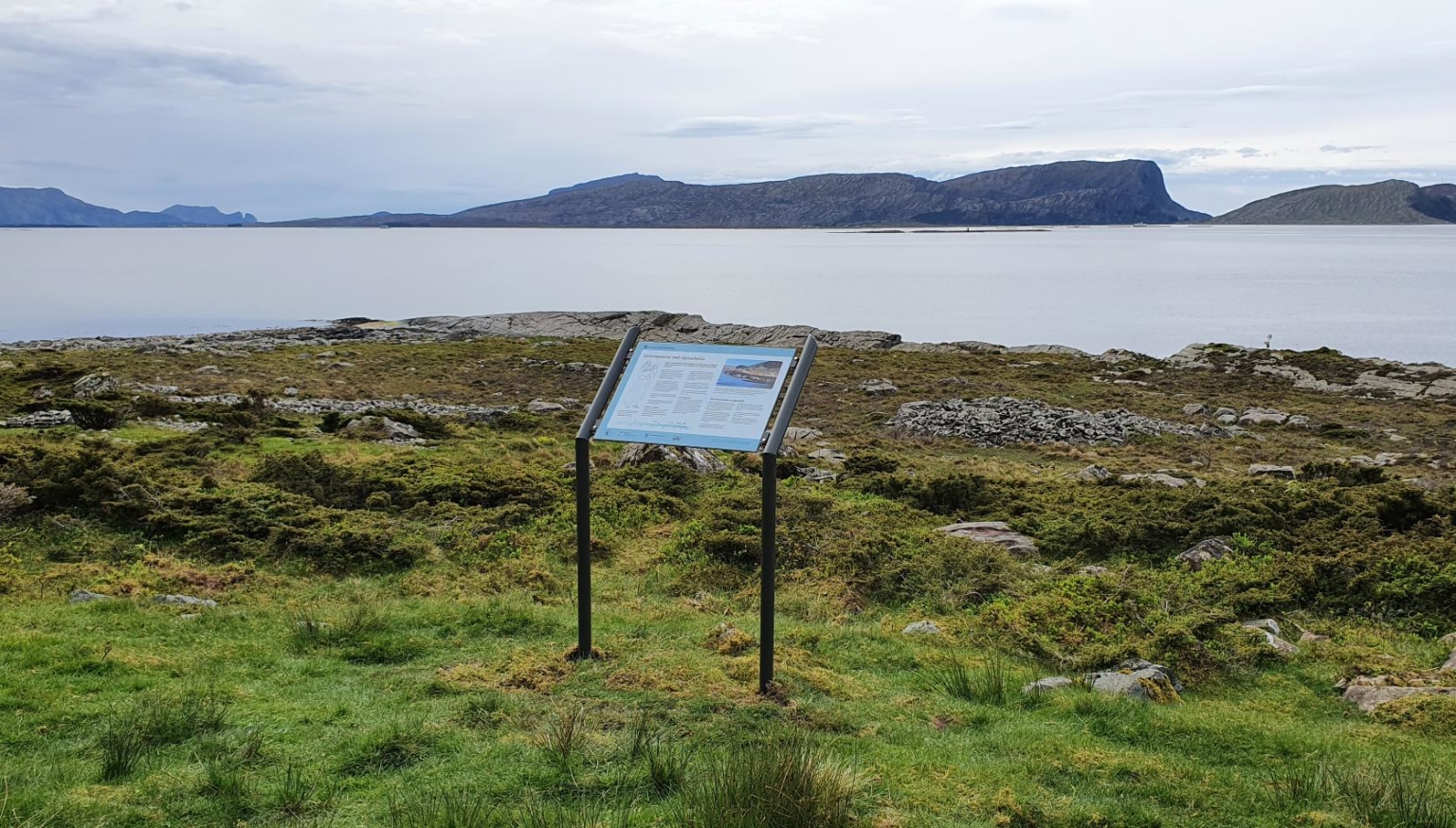
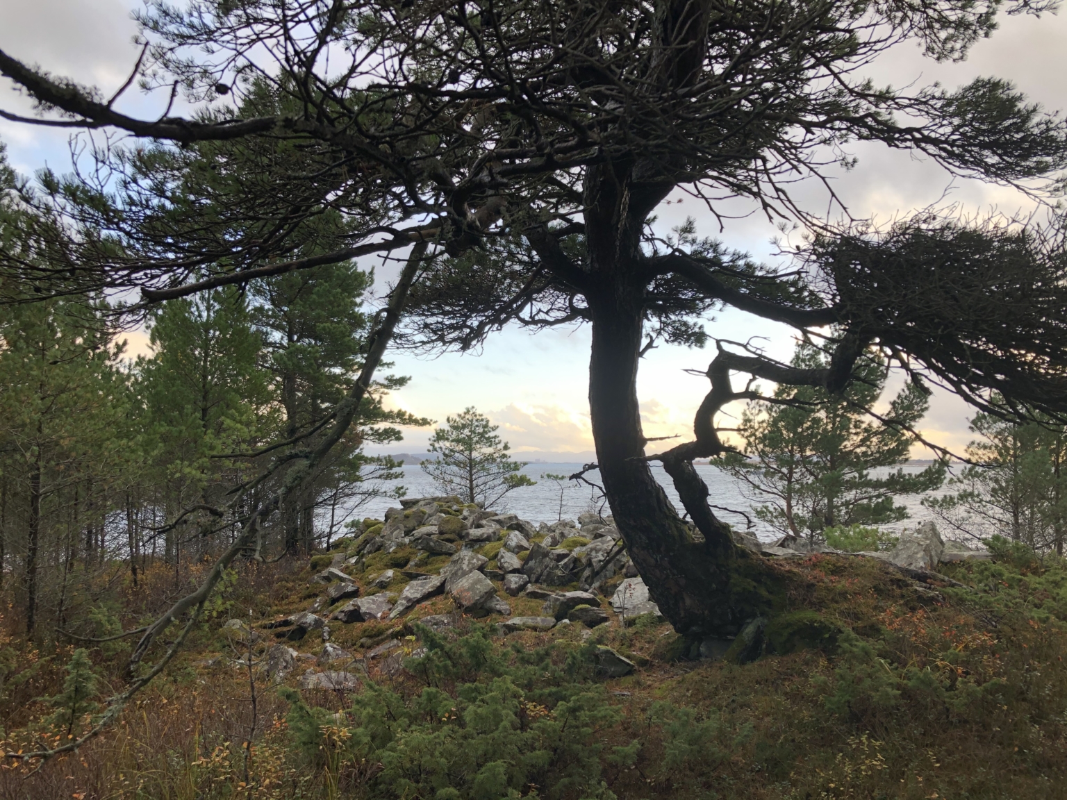
Here we can look directly down upon a small shoreline area with three burial cairns from the Iron Age: one long cairn furthest south, and two circular burial cairns further to the north. The landscape was important for the positioning of the cairns.
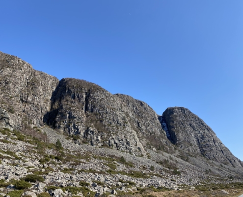
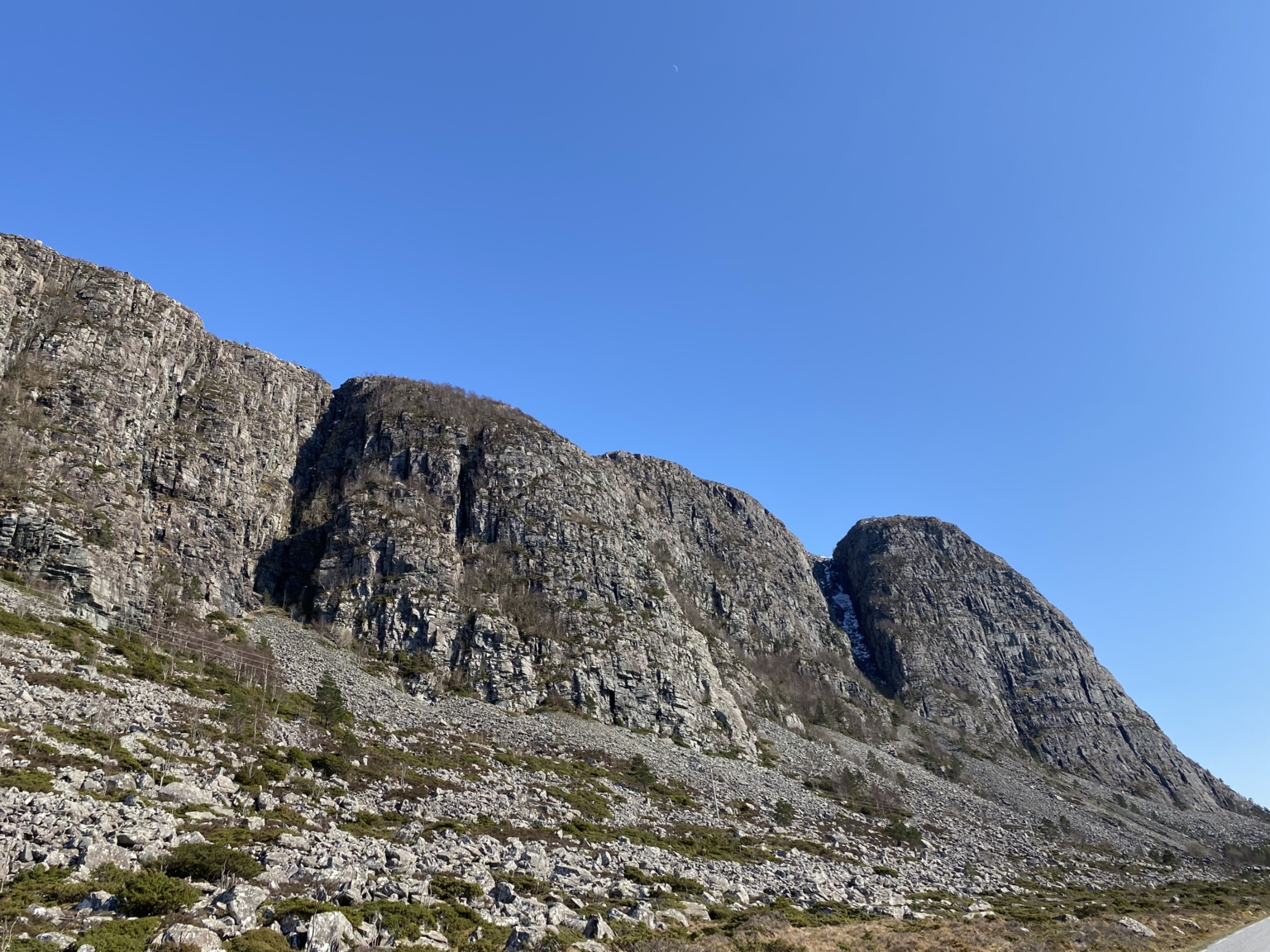
The mountain here is called Opnaren (The Opener) and has several characteristic ravines. Perhaps the whole area was a religious landscape for people in prehistoric times, and the clefts in the steep and jagged Opnaren led inwards towards what they believed was the underworld.
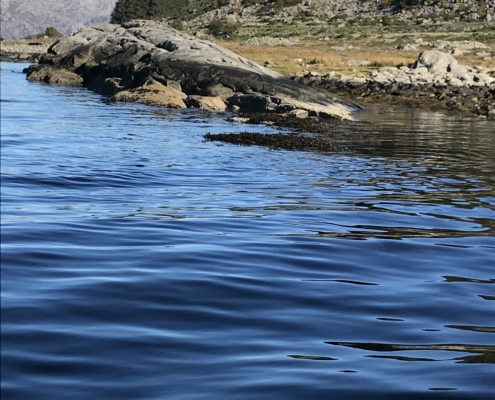
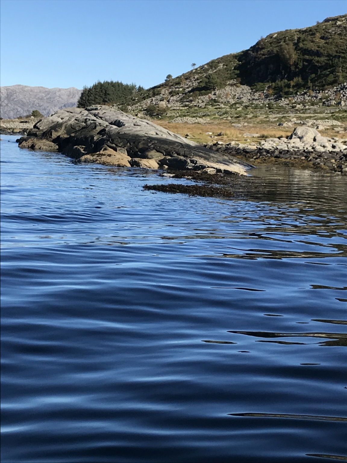
The rock which protrudes outwards into the sea beneath the cairns, is Opnarhella (The Opener Stone), also called Storopnarhella (The Great Opener Stone). It was possible to board and disembark from a boat or ship here. It was not unusual to place burial cairns close to boathouses and places for mooring or landing.
From this shore, they could look out to the open sea, perhaps to where the souls of the dead were bound.
There are many shoreline burial grounds in Western Norway. Some were built in the early Iron Age, and this tradition continued throughout the Iron Age.
Seljestokken – a farm along the old boat trail
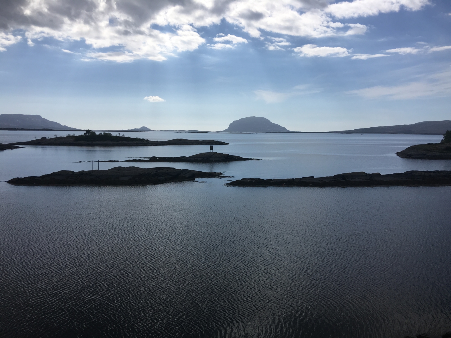
Between Storevika and Årebrot there are more than 30 burial cairns. The cairns are remarkably closely spaced, and this is related to the location along the boat trail, with the ocean just beyond the islands.
There are seven farms along the shoreline from Storevika to Årebrot. All contain burial cairns from the Bronze and Iron Ages. Seljestokken (Goat Willow Bole) has most, with its ten. The cairns provide evidence that the farms existed at the time the cairns were built. Only certain people were singled out for this kind of burial.
The burial cairns were positioned close to the shore so that they would be easily visible from the boat trail. They served both as graves, status symbols and landmarks. Their close proximity to the water and the oceans beyond had importance also with regard to religious beliefs and rituals.
A unique view of over 30 burial cairns along an eight km stretch of coast. Broken lines indicate paths to several of the cairns at Seljestokken. The grey area indicates the stone quarry. Kart/map: Runa Gjerland
Like a row of gems along the boat trail
Between Årebrot and Botnane there is a remarkable group of more than 40 burial cairns from the Bronze and Iron Ages. Over 30 of these are found between Årebrot and Storevika and on islands and islets.
The series of over 30 burial cairns is positioned along an 8 km stretch of coast. The long row is unusual: we normally find only one or two cairns on conspicuous promontories and peninsulas along the old boat trail.
This route has been travelled from prehistoric times. People kept their boats close to land because there was little protection from the rough seas. As they passed by, they saw the numerous burial cairns.
As well as being graves, the burial cairns have been symbols of power and authority. They were also an expression of religious beliefs and rituals.
The people singled out for this kind of burial, had a connection to the farms here. Several cairns have been looted or have become overgrown and are not easily detected today. All ancient monuments became protected by law in 1905.
This route has been travelled from prehistoric times, and the burial cairns are placed like a row of gems northwards along the shoreline. To find such a concentration of burial cairns is very unusual.
Kart/map: Runa Gjerland


